Mobile app development in Malaysia trend keeps evolving as the number of people using mobile phones keeps rising. Mobile phones are always going to be a communication device. Businesses are jumping onto mobile apps in order to keep communicating with their customers. The requirements for nearby push notifications and indoor mapping in mobile apps are rising. Both of these modules can be done using beacons.
Beacons are radio transmitters, they are powered by batteries and usually are small in size. Beacons are similar to lighthouses in terms of how they work. The beacons will keep shooting signals within their radius.
There are 2 main ways beacons comes into picture in making mobile apps.
- Proximity Push Notification
- Indoor Positioning & Mapping
Download this article in PDF
[hubspot type=form portal=7206205 id=dbf8b2c8-08cd-4199-baa5-6b23a0f8fb2e]
Proximity Push Notification
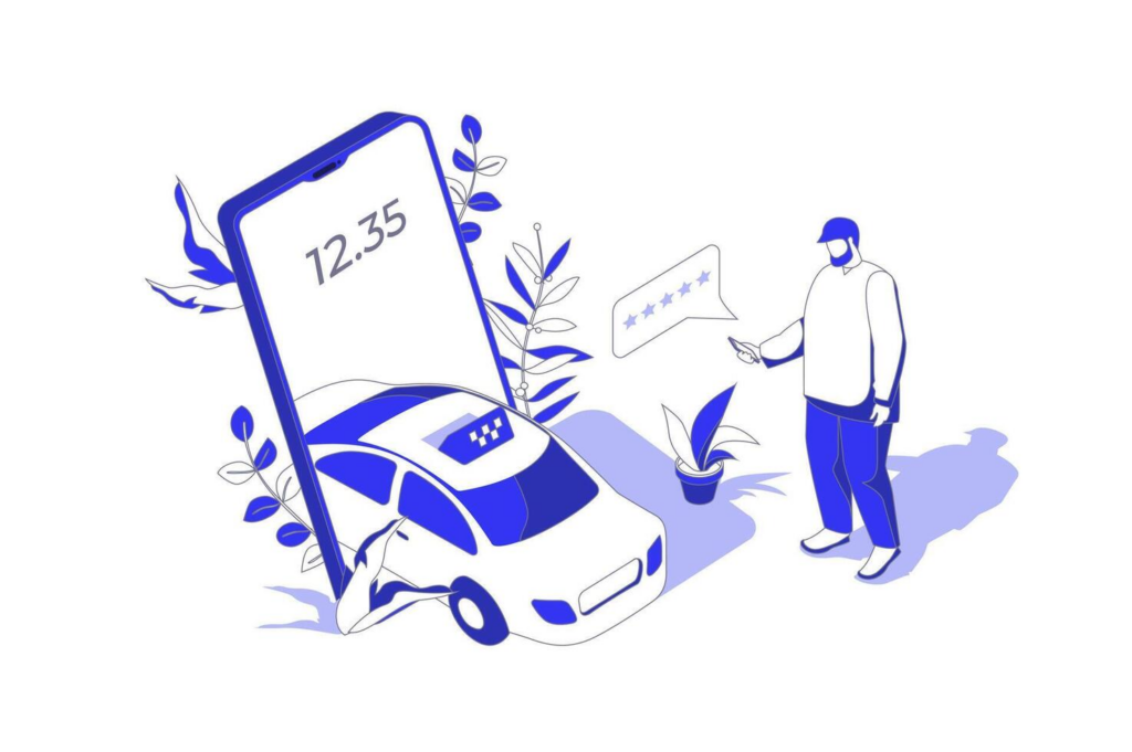
Proximity push notifications or as the name suggests “nearby” push notifications are the new way of marketing. Imagine walking into a mall and getting a push notification on discounts on selected stores. More people are going to walk into the stores.
We can make this happen with Beacon Technology. The mobile app detects signals from beacons and acts according to what they have been instructed to do. The app does not have to be running in the foreground but must be running in the background.
These is what required for setting up proximity push notification :
- Beacon
- A mobile app which the beacons and the cloud are configured
How nearby push notifications can work with Beacons :
- Let’s say, beacons are deployed at the entrance of a restaurant.
- A customer with the restaurant app installed on his phone walked into the restaurant.
- When he passes the entrance, the BLE beacons will detect his device where the app phone will then detect the ID of the beacon to the app where the app then sends the ID to the cloud/server.
- The server will respond back with the right string of messages for the specific ID where the app will send as a push notification.
- The push notification can be about a new item on the menu or a discount.
Indoor Positioning System (IPS)
GPS helps you navigate the outdoors. Internal Positioning System (IPS) helps you navigate the indoor. IPS is a technology that locates people or objects indoors. Hospitals, shopping malls, airports, government offices, or companies with big buildings nowadays are integrating indoor positioning & maps inside their app. However, a lot of companies still are holding their back from doing this due to a lack of knowledge of this technology and how it works. Having an indoor map can make it easy for employees, visitors, or customers to find their way.
IPS is a network of other systems or devices which find out the location of objects or people inside buildings wirelessly. GPS, Bluetooth, WiFi, Geomagnetic, LiFi, and/or UWB can be used to do such systems. We are only going to discuss Beacons and WiFi positioning since these 2 mostly comes into the picture when IPS comes up.
Understanding the different types of IPS technologies is good, but the real value is in the software that is connected to the IPS technology.
Indoor Navigation with WiFi
Accuracy: 5 to 15 meters
Usage: User has to turn on WIFi on their phone, connection is not required. WiFi navigation is calculated with WiFi frequency and signal strength.
Cons: Since Android 9, the frequency of scanning for WiFi signals has dropped to an interval of 30 seconds on Android phones. This leads to a severe lag in updating the real-time position. WiFi positioning does not work with Apple iPhones.
Indoor Navigation with Beacons
Accuracy: 1 to 3 meters
Usage: A beacon should be placed every 7-10 meters depending on the desired accuracy. Users have to turn on Bluetooth on their phones, but a connection is not required.
Cons: High cost and consume time for installation.

A user places three or more beacons in an environment and then walks through a calibration sequence with their mobile device where they touch key points in the environment like the floor and the corners of the room. This process automatically computes the room geometry as well as the precise beacon locations without needing auxiliary measurements
https://www.semanticscholar.org/paper/ALPS%3A-A-Bluetooth-and-Ultrasound-Platform-for-and-Lazik-Rajagopal/7f8d33dece2d76f662bb551d38d9bc10eaa2888c
However, developers can now integrate multiple methods of positioning with the use of the Unified Positioning Platform. Unified Positioning Platform is a platform that combines different mobile positioning methods under one SDK.
Proximi.io, Mazemap, mapwize.io are some of the Unified Positioning Platform which offers SDK which can be integrated with mobile apps or the web. The data will be hosted and managed by them and subscription fees is applicable.
Developing your own positioning system or platform is going to cost a lot of budget and time. Regular maintenance and improvements have to be made if you custom develop your own unified positioning platform. Therefore, these third-party platforms will help you to cut your time and budget in developing indoor positioning & maps.
With the use of a unified positioning platform, an accuracy of 1 to 2 m can be achieved with the support for multiple floors and indoor-outdoor transitions.
Installation of beacons and setting up the platform is very costly. The development of such an app is also costly. The cost depends on the expected square feet area that needs to be covered on the map. Let’s say you want to cover about 130 000 square meters, it will cost about RM200K just for the purchase and installation of the beacons. An average of 20 000sqm of the area can be covered with beacons in 1 day and this excluding setting up the software and configuring them.
Floor plan creation takes additional time and cost. Route setup will also cost about RM 10k for every 100 000sqm. An annual fee for the license will be also as high as RM150k per year and different platforms have different pricing. After the beacons and platform is successfully set up, the map has to be designed and integrated into the mobile app where it will be charged extra.
There are simpler versions of indoor positioning & mapping that can be done on a smaller budget but the accuracy will not be that good.
All these are done by using a third-party unified positioning system. The app should be also maintained to ensure performance and quality.
Note: This above information on the pricing of the Indoor positioning & maps development is written based on our discussion with a number of unified positioning system platform providers and also a number of companies & developers who have experience in building indoor positioning & maps.
Indoor maps has a lot of use cases.
Workplace
Workplace such as big factories or big offices is developing indoor positioning & maps to make a “smart workplace”. Imagine you are working in a very big office and you receive a calendar invite to your next meeting with a location link on it. All you have to do is to click on the link and the app will open up and start navigating you to the meeting room. By having indoor positioning & maps, when scheduling a meeting at the current time, you do not have to worry about which empty meeting room can be used. The positioning software will tell you which room is empty. Indoor positioning is also used to track employees from entering restricted areas.
Shopping Malls
Indoor positioning for shopping malls will not only help customers to navigate their way, but the shopping mall management can also collect user data. With the data obtained from indoor maps, we can know this information:
1. Average time duration spent in the mall by the customers
2. Spots that receive the highest traffic, lowest traffic (This data can be used to increase or adjust the rental rate accordingly)
3. Number of people walking into each shop
and a lot more
With these data, improvements can be done to the shopping mall to increase the time spent by the customers in the mall thus pushing up the average expenditure per customer.
Customers on the other hand do not have to waste time finding the shops they looking for. The app search directory will make it easy for them to give what they are looking for. In some Unified Positioning Systems, you can even use location-based services such as push notification. In other words, users will receive a push notification when they enter a certain area. For example, when a user enters a restricted area, a push notification that will advise them to leave the restricted area will be triggered.
Hospital
Hospitals can use indoor positioning to keep track of the location of wheelchairs and other medical equipment. Appointments can be sent to the patients along with the link to the location. No one will visit the hospital a day in advance just to figure out where their appointment is, and people do now want to be late at the same time so this might be a good solution.
Indoor navigation & mapping is suitable for any indoor location which is big enough like hospitals, airports, shopping malls, big offices, government offices, universities/colleges and etc.
So what now ?!
Using beacons can definitely add value to your customers/users. If you wish you have someone to talk to regarding this to identify how you can level up your business with beacons, you can contact us.
Download this article in PDF
[hubspot type=form portal=7206205 id=dbf8b2c8-08cd-4199-baa5-6b23a0f8fb2e]